Why Surfline Isn’t Enough in Southern Oaxaca
Surf forecasting apps are useful — but in Southern Oaxaca, they rarely tell the full story. Understanding why requires knowing how this coastline actually works.
The Real Forecasting Problem in Southern Oaxaca
Between Salina Cruz and Huatulco, the coastline stretches for more than 120 kilometers with very limited real-time measurement infrastructure. Unlike highly monitored surf regions, this area lacks nearby offshore buoys and dense wind stations.
Forecasts here are references — not answers.
Why Wind Models Fail More Often Here
- ECMWF (European), GFS (American), and ICON models often disagree on wind direction
- No nearby buoys to calibrate predictions
- Complex coastline and exposed headlands
- Strong regional wind systems like the Tehuano
It’s common to see three apps show three different wind directions for the same spot and time window.
What Forecasts Can Predict — And What They Can’t
What works reasonably well:
- Astronomical tides based on celestial cycles
What they can’t predict accurately:
- Wind-driven tidal effects
- Local pressure changes
- Micro wind shifts along the coast
- How points bend and block wind
The Most Common Mistake Visitors Make
Many surfers arrive confident after checking multiple apps — often using free versions with limited resolution.
They trust ratings and arrows without understanding true cardinal orientation, swell angles, or wind behavior. Some can’t even identify north and south from the beach.
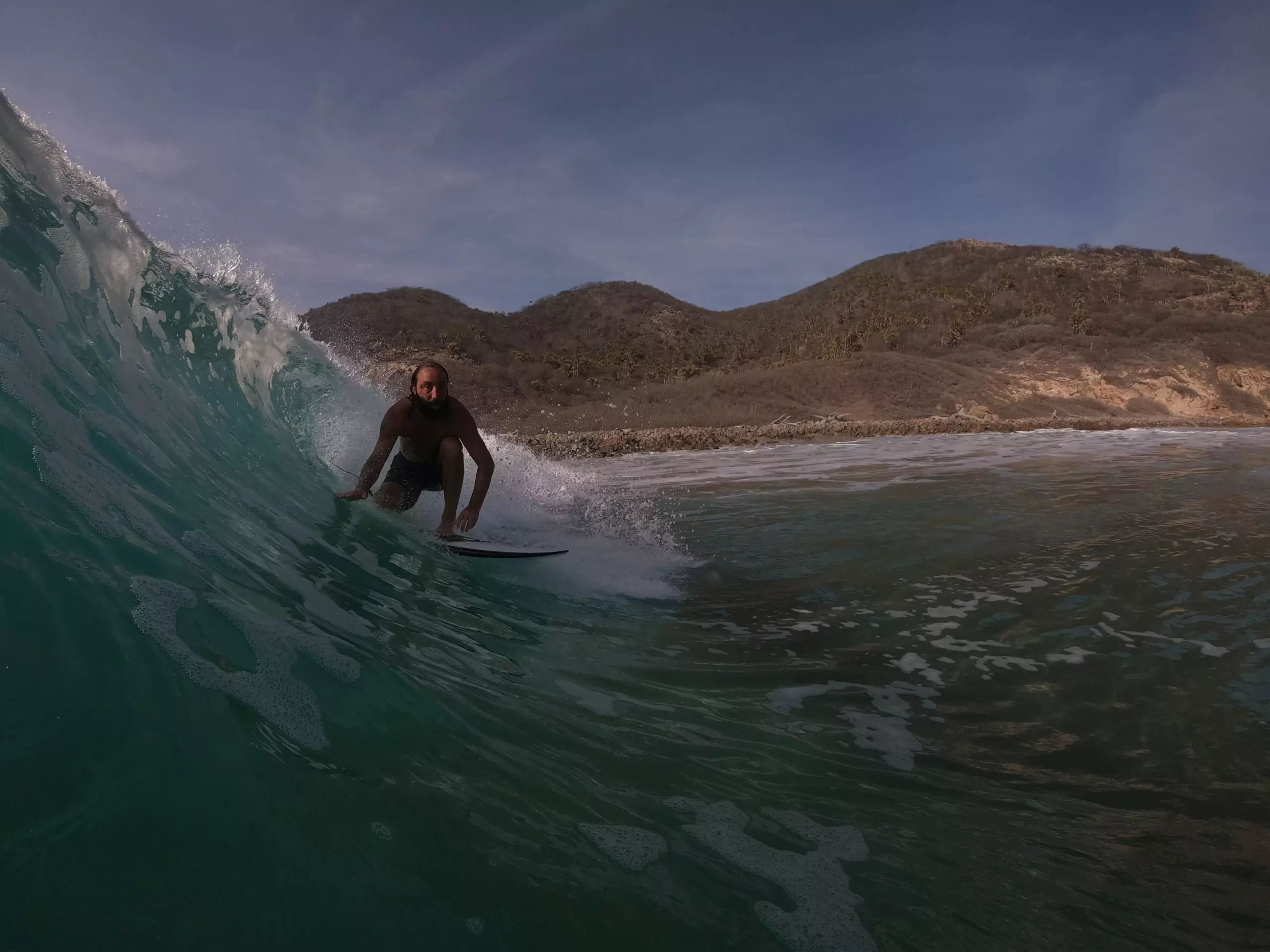
Why Wind Is the Real Enemy — and Opportunity
In Southern Oaxaca, wind matters more than swell size. It can shut down conditions in minutes or suddenly groom a point into perfection.
Knowing when to wait, when to move, and when to paddle is what separates average sessions from exceptional ones.
The Bottom Line
Surf apps are useful — but they are not enough here.
This coastline doesn’t reward prediction. It rewards reading, patience, and local understanding.
